-40%
Little-known Death Valley mine, 1st ed report, BIG separate MAPS, photos, VG+
$ 17.83
- Description
- Size Guide
Description
First-edition report and maps describelittle-known mine in Death Valley
Mine had substantial production of silver, gold and lead;
report and maps are in very good, near-fine condition
Maps show mine's exact location and maze of underground workings
T
his first-edition 1968 report leads you to a mine that's almost unknown to Death Valley
outsiders — the Queen of Sheba.
Although Inyo County's world-famous lead/silver lodes of Darwin, Santa Rosa and Cerro Gordo are nearby, few know about this once-profitable lead/silver mine.
Mine was major producer
The Queen of Sheba, originally called the Carbonate when it was first discovered in 1913, was not some insignificant dinky pocket deposit. It yielded a substantial 100,000 ounces of silver, 1,500 ounces of gold, 5 million pounds of lead and 146,000 pounds of copper.
Tiny detail of large map from book's rear pocket:
Geologic maps of the Queen of Sheba workings, crosscut no. 3 (elevation 1,321 feet).
The mine was also substantial in terms of its workings: In one section, three long, principal adits accessed 1,600 feet of horizontal workings on four levels. In another completely separate section of the mine, four adits driven into the ridge on four levels accessed about 1,900 feet of level workings. Not too shabby for a mine that was literally in the middle of nowhere, where miners toiled in broiling outside summer temperatures that are the second hottest on Earth. There wasn't even any water at the mine site. It had to be hauled from Zabriskie, a station on the now-abandoned Tidewater and Tonopah Railway, many miles away.
No serious collection of mining literature on California or Death Valley is complete without this report on a little-known but major money maker.
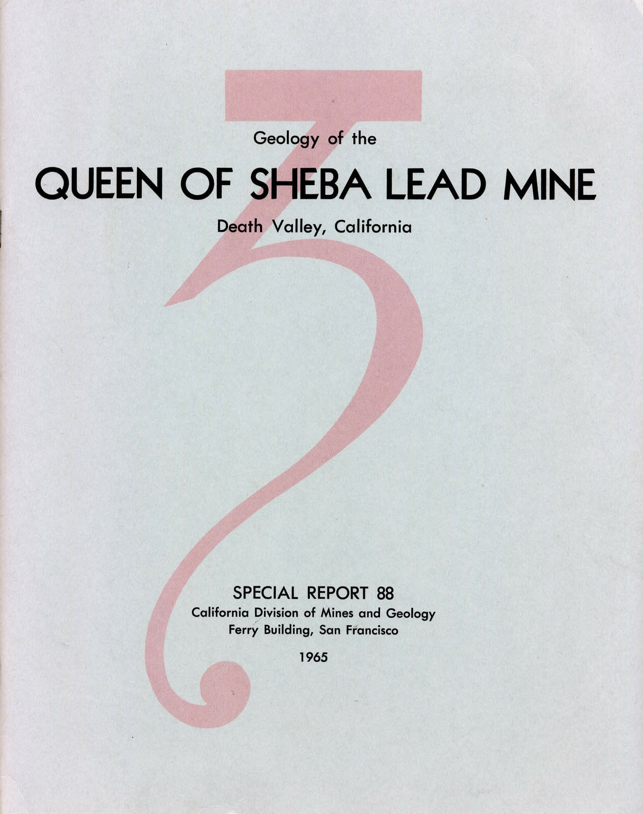
Geology of the Queen of Sheba Lead Mine, Death Valley, California
contains a wealth of information on mine locations (there are several in the area), subterranean workings, mine production, owners' names and addresses, minerals mined, mine geology, history, area geology and details on the everyday operation of the Queen of Sheba. It is a first edition, in very good condition, with all three oversized maps in the rear pocket.
Maps would look great framed
Like other sought-after mining books about the Death Valley area, those color maps from the pocket (see details above and below) are arguably the real prizes here. They are handsome examples of geologic cartography with
pleasing colors and nicely executed calligraphy. Any and all would look great framed.
This photo from book can be used to find mine by matching landscape shown here with actual landscape in Death Valley.
The book
Geology of the Queen of Sheba Lead Mine, Death Valley, California
, Special Report 88, 1965, by Paul K. Morton, California Division of Mines and Geology, Ferry Building, San Francisco, first edition, 18 pages, stapled binding with stiff covers, 8.5 by 11 inches; report is in very good to near-fine condition except for some slight soiling on the back cover and a bumped lower right corner. Three maps in pocket are folded with some
slight rippling; but all are otherwise in very good to near-fine condition.
As always, I am
extremely
conservative about rating book condition and very detailed in listing any potential flaw, no matter how slight. You get what you pay for. If you want a trashed book, filled with scribbled notes, ripped pages and underlined passages that the seller just "somehow forgot" to tell you about in his ad, then look elsewhere on ebay.
Payment methods and shipping
Paypal only. I pride myself on bulletproof packaging
. I post feedback once a week.
Tiny detail of large map from book's rear pocket shows Sheba fault and relationship of Queen of Sheba workings to topography, very handy when trying to find actual mine entrances.
The fine print:
Feel free to e-mail me if you have any questions about the item.
Not responsible for typographical errors.
Good luck and thanks for looking!!
Where is it?
Death Valley National Park (DVNP) is located mostly in southeastern California; some of it crosses state lines into Nevada. Most of DVNP is in Inyo and San Bernardino Counties, California. Counties adjacent to Inyo are Mono, Fresno, Tulare, Kern and San Bernardino; nearby counties include: Riverside, Orange, Los Angeles, Santa Barbara, Kings, Madera, Mariposa, Tuolumne and Alpine.
This small map detail shows just a fraction of Sheba's winding adits and tunnels illustrated in the three large color maps from the pocket .
Towns, population areas and interesting sites in Inyo County include Aberdeen, the Alabama Hills, Ancient Bristlecone Pine Forest, Badwater, Ballarat, Big Pine, Bishop, Cartago, Cerro Gordo, China Lake Naval Weapons Center, Coso Junction, Darwin, Death Valley Junction, Dolomite, Dunmovin, Eureka Sand Dunes, Fossil Falls, Furnace Creek, Haiwee Reservoir, Independence, Keeler, Laws, Lake Sabrina, Little Lake, Lone Pine, Mt. Whitney, Olancha, Owens Lake, Panamint Springs, Pearsonville, Saline Valley, Scotty's Castle, Shoshone, Stovepipe Wells, Swansea, Tecopa and Ubehebe Crater.
We have many MANY more rare mining books! Just visit our ebay store, Rare Mining Books:
http://stores.ebay.com/Rare-Mining-Books?_rdc=1
San Bernardino County cities and towns: Adelanto, Alta Loma, Apple Valley, Barstow, Big Bear Lake, Bloomington, Chino, Cima, Colton, Cucamonga, Essex, Etiwanda, Fontana, Forest Falls, George Air Force Base, Grand Terrace, Havasu Landing, Helendale, Hesperia, Highland, Hinkley, Lake Arrowhead, Loma Linda, Lucerne Valley, Mentone, Montclair, Morongo Valley, Mountain Pass, Mt. Baldy, Needles, Ontario, Oro Grande, Parker Dam, Phelan, Pinon Hills, Pomona, Rancho Cucamonga, Redlands, Rialto, Upland, Yermo, and Yucca Valley.
Track Page Views With
Auctiva's FREE Counter
