-40%
1941 RARE 1st ed mining report, near Bishop, Inyo, Calif, 3 BIG detached maps VG
$ 19.94
- Description
- Size Guide
Description
1941 report and maps pinpoint mines nearBishop, CA; show underground workings
Mines include Little Sister, Aeroplane, Lucky Strike and others
T
his 77-year-old rare first-edition report describes and maps two mine groups: the Deep Canyon mines and Round Valley
mines, at the base of the majestic Sierra Nevada, 10 miles west of Bishop, California.
Portion of large map from pocket:
Geologic map and section of Round Valley pendant, Tungsten Hills, Inyo County, Calif.
, nice 1940 vintage map, five color, about 11 by 13 inches, contour interval is 20 feet, scale is 2 inches = about 1,000 feet.
Handsome maps!
Like many of these sought-after mining reports, the maps (particularly the three oversize color maps in the rear pocket) are arguably the real prize here. All are handsome examples of geologic cartography with pleasing colors and nicely executed calligraphy (see scans). They would look great framed, either as a group or singly.
Sparsely populated Inyo County is home to the highest point in the contiguous United States (Mt. Whitney, west of Lone Pine) and the lowest point (Badwater in Death Valley).
It also has some of the richest tungsten deposits in the country, and this report covers the ones in the aptly named Tungsten Hills. The text discusses tungsten mining history and output of these important deposits; rocks and minerals associated with the deposits; mineral composition of the tungsten ore; size, grade and geology of ore bodies; location of area mines; and extent of subterranean workings, including maps of surface and underground features.
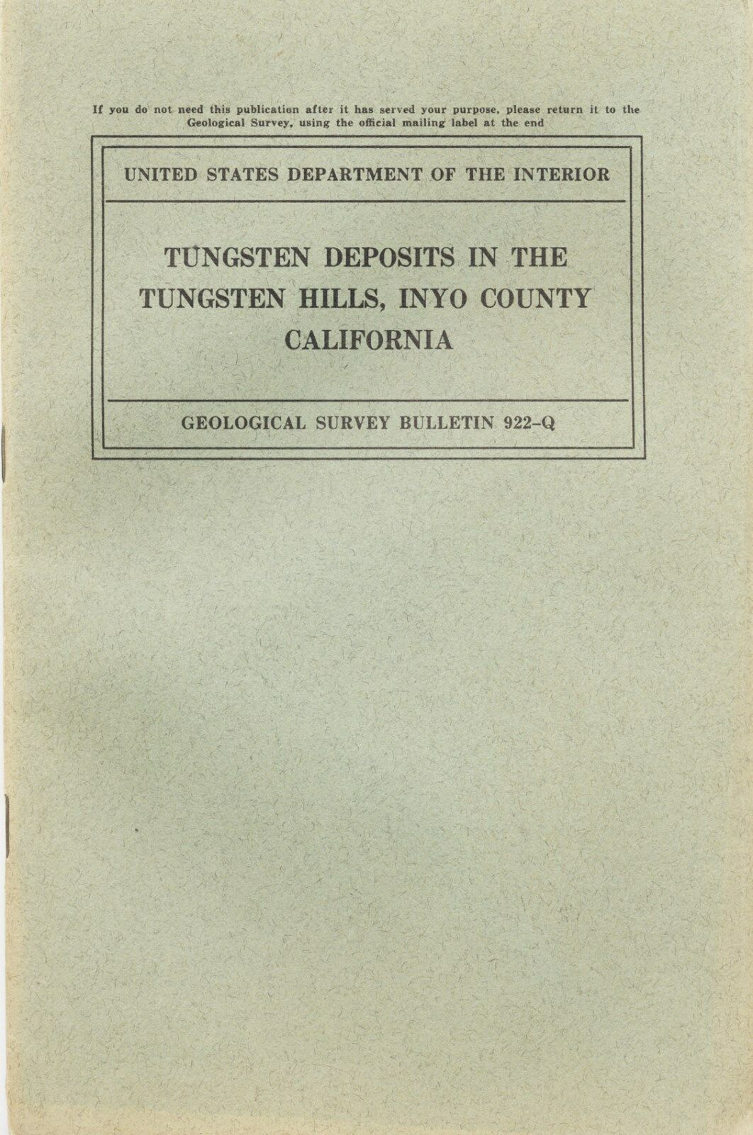
Tungsten Deposits in the Tungsten Hills, Inyo County, California
also discusses other smaller claims and their locations, in addition to the ones mapped
.
Want a trashed book, filled with scribbled notes, dog-eared pages and highlighted passages? Then look elsewhere. This first-edition report is in very good, near-fine condition.
Some tungsten ores fluoresce brilliantly
Some tungsten ores are highly prized by rockhounds because they fluoresce brilliantly under ultraviolet light. However, I do not know if any of the areas in this book are open for collecting.
Small detail of
Geologic map of underground workings, Round Valley mine
. Real map is nice, about 15 inches by 19 inches and in three colors; scale: two inches = about 100 feet. (Yellowing in shape of yellow manila pocket is slightly visible on this map.)
Illustrations, not shown, include:
Plan and section of the aeroplane mine geologic map of main adit, Western Tungsten Co. mine
(black and white).
Geologic map of Deep Canyon area, Tungsten Hills, Inyo County, Calif.,
four-color map in pocket, about 15 by 12.5 inches, nice 1940 vintage map; contour interval is 50 feet; scale is one inch = about 500 feet.
Plan and section of the Little Sister mine
(oversize black-and-white foldout).
Plan and section of Lucky Strike mine
(oversize black-and-white foldout).
Index map of Southern California showing location of the Tungsten Hills
(oversize black-and-white foldout).
Geology described in detail
Because this is, after all, a book about mining
and
geology, it covers the latter topic in detail, especially how it relates to the mineral deposits. In the Tungsten Hills, contact-metamorphic scheelite deposits occur in many small, isolated masses (called "pendants") of the metamorphosed sedimentary rock surrounded by granite and quartz diorite. Although the age of the metamorphic rocks is unknown, the ores are genetically connected with the granitic rocks of probable late Jurassic age.
We have many MANY more rare mining books! Just visit our ebay store, Rare Mining Books:
http://stores.ebay.com/Rare-Mining-Books?_rdc=1
The pendants consist of schists, quartzite, limestone and skarn or "tactite" — a sillicate-rich rock formed through the alteration of limestone. All these metamorphic rocks are derived from sedimentary rocks. Tilted remnants of a basalt flow cap a few summits to the north — and numerous dikes of aplite, diorite and andesite — cut the older rocks.
Where is it?
Inyo County — the second largest county in the state — is in eastern California, bordering Nevada, about halfway between the Mexican border and Oregon. Counties adjacent to Inyo are Mono, Fresno, Tulare, Kern and San Bernardino.
The report:
Tungsten Deposits in the Tungsten Hills, Inyo County,
California
, Geological Survey Bulletin 922-Q, by Dwight M. Lemmon, United States Printing Office Washington, 1941, stiff paper covers, first and only edition, about six by nine inches, stapled binding, pp. 497–514, 17 pages, plus four maps and three oversized color maps in rear pocket. Maps in pocket are folded and have some slight rippling/yellowing; otherwise in excellent shape. Book is in very good shape. Some slight yellowing and rippling. Bumped corners.
Payment methods and domestic shipping
Paypal only. I pride myself on bulletproof packaging and ship in sturdy cardboard boxes or reinforced padded envelopes.
The fine print:
Feel free to contact me if you have any questions about the item or terms of sale.
Do not
wait until you have bought it to ask questions.
I post feedback once a week. Not responsible for typographical errors.
Good luck and thanks for bidding!
Nearby counties
Counties near to Inyo include: Riverside, Orange, Los Angeles, Santa Barbara, Kings, Madera, Mariposa, Tuolumne and Alpine.
Towns, population areas and interesting sites in Inyo County include Aberdeen, the Alabama Hills, Ancient Bristlecone Pine Forest, Badwater, Ballarat, Big Pine, Bishop, Cartago, Cerro Gordo, China Lake Naval Weapons Center, Coso Junction, Darwin, Death Valley Junction, Dolomite, Dunmovin, Eureka Sand Dunes, Fossil Falls, Furnace Creek, Geology Village on Tonopah Drive in Goldfield, Greenwater, Haiwee Reservoir, Independence, Keeler, Laws, Lake Sabrina, Little Lake, Lone Pine, Mt. Whitney, Olancha, Owens Lake, Owens River, Panamint Springs, Pearsonville, petroglyphs, Saline Valley, Scotty's Castle, Shoshone, Skidoo, Stovepipe Wells, Swansea, Tecopa, Trona and Ubehebe Crater.
Track Page Views With
Auctiva's FREE Counter
